Republic to China Bend

Date: 
Sunday, July 21, 2013
Miles: 
65
Bike: 
Soma Saga

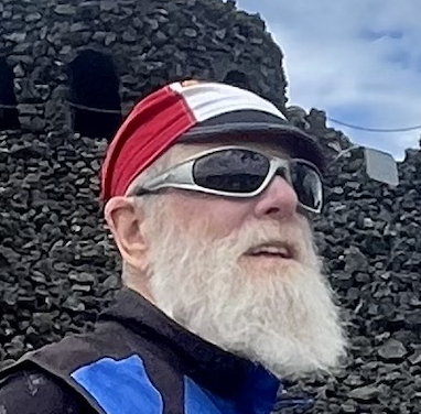
The climb starts immediately when leaving the Ferry County fairground and stays at a very steady 6% for the 15 miles to Sherman Pass. It was nicely wooded the whole way until I got to the area burned in the White Mountain forest fire of 1988. Still lots of dead trees standing but much of the area had very healthy looking re-growth.

Sherman Pass

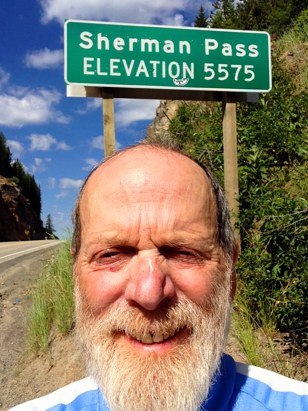
Made it over the last pass. It was actually a bit cool on top so I didn't hang out long. It was a nice long downhill pretty much to the Columbia River. There I left the ACA route and headed north on 395 for a few miles before turning onto Northport Flat Creek road. The turn off was right where the Kettle River hits the Columbia or Lake Roosevelt as the flooded area behind the Grand Coulee Dam is called.

Kettle Trailhead

By now the clouds had rolled in keeping it a bit cooler which was a good thing because the short climb from the Kettle River to the shelf above the river that the road followed was steeper than any of the passes I went over. Once up off the river the road just rolls for about 5 miles before dropping back down to Snag Cove boat launch and campground. I couldn't resist stopping for a quick swim.

I visited with my friends in China Bend for a few days and then rode the 30 miles back to Kettle Falls where I took a bus to the Amtrak station in Spokane. The trip home was not pleasant but it had been a great tour.

sherman1.jpg

This is the view from the White Mountain view point. There had been a devestating forest fire here in 1988 which burned more than 20,000 acres. It was nice to see all these young trees sticking up through the dead wood.

sherman3.jpg

 Looking east from Sherman Pass. It's all downhill from here to the Columbia River.
Looking east from Sherman Pass. It's all downhill from here to the Columbia River.

kettle-river.jpg

 The Kettle River just before it joins the Columbia at Lake Roosevelt.
The Kettle River just before it joins the Columbia at Lake Roosevelt.

columbia.jpg

The Columbia River at Lake Roosevelt.
The Columbia River a.k.a Lake Roosevelt as it is backed up for the Grand Coolee Dam to the Canadian border. The bridge in the distance is where US 395 crosses into Kettle Falls and south to Spokane. I followed the river north on the east bank on Flat Cre

vineyards.jpg

 Looking over the vineyards at China Bend and the Columbia.
Looking over the vineyards at China Bend and the Columbia.

house.jpg

My friend's home in the woods. Once of the most remote, and beautiful places you could live.

winery.jpg

The winery at China Bend.

columbia2.jpg

The Columbia River just a few miles from the Canadian border.