Day 13 - Hills
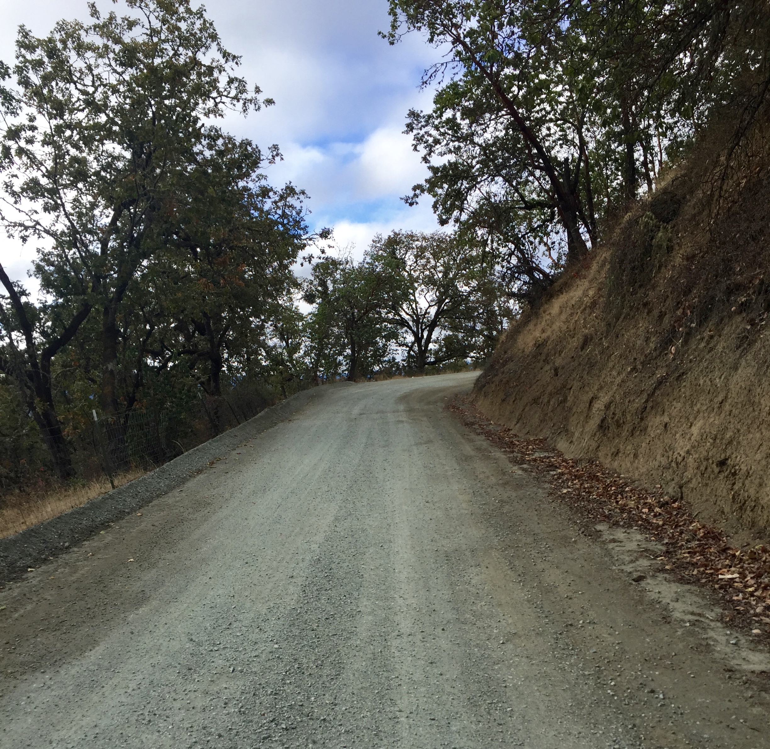
The I-5 corridor through this part of Oregon cuts through some narrow canyons and around a lot of hills. There is no easy side road that follows it directly. The first big challenge was Roberts Mountain Road. It wasn't really a mountain, just one of those big oak knolls, so how bad could it be? It turns to gravel? Great! I haven't had very much gravel on this ride. It got over 10%. Ugh! Here I was pushing my bike again. I don't like pushing my bike. I'm not sure how much lighter I'd have to get to make it up a road like this. I'm not sure I could do it empty!
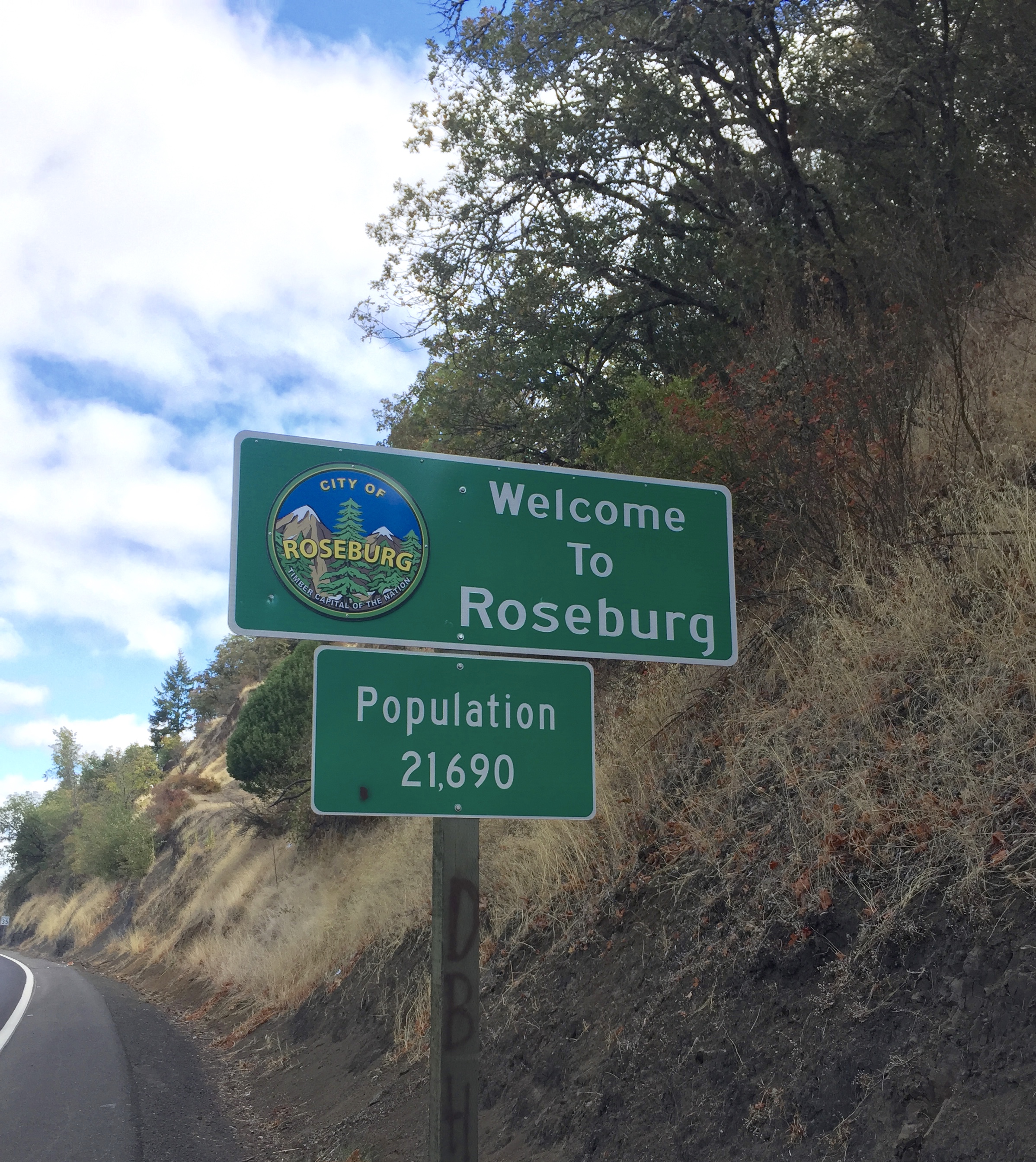
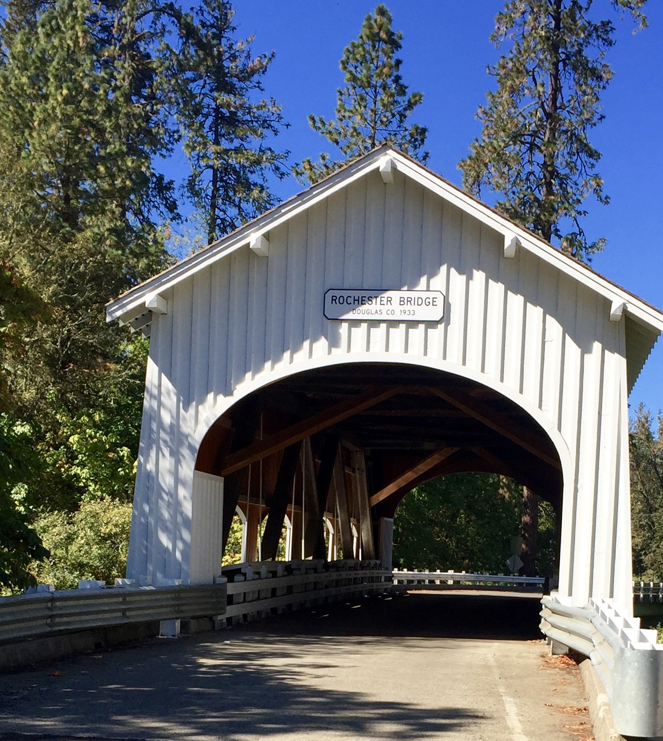
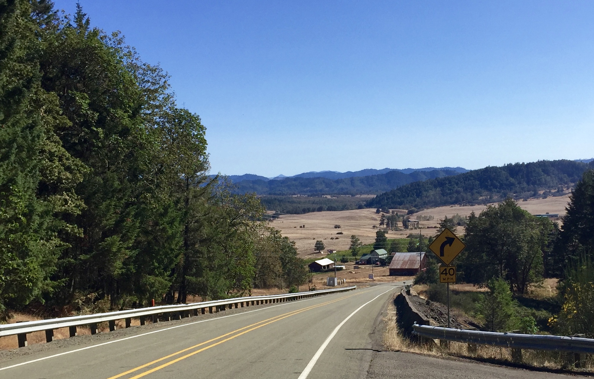
Old 99 though Roseburg was a nice respite. There were still traces of another era when this was the main road and there were stores and motels all along the way. I had about 20 miles on this road, straight through town and on north. I had lunch at a Subway somewhere north of Roseburg. Then it was off on some more side roads. It started off very scenic, including a covered bridge. Then Metz Hill, which was a nice climb but not steep. Then back across the freeway and onto Goodrich Highway. This sounded fine although I was not happy that I was now riding due east away from the freeway, but when it started heading north again it started climbing, and then got steep, and pretty soon I was off the bike again and pushing. #!!@%###! Despair started to set in. I was way out in the hills and had no idea what lied ahead. But of course every mountain had a top, and eventually I was zooming down the other side, straight down to one of those big truck stops on the freeway at Rice Hill. So, time for ice cream and chocolate milk. Nothing like good treat to liven the spirits.
I feared there could be more big hills ahead but fortunately there were not. Shortly after the truck stop I got on Eagle Valley Road to Yoncalla, and left the I-5 corridor for good. Yoncalla is another town I have often seen the exit for but have never been through. This still being Douglas County it is a logging town. I stopped at the store and they seemed quite friendly. I was glad to see these towns surviving, even though I decry the destruction their livelihood causes in the woods. There must be a better way.
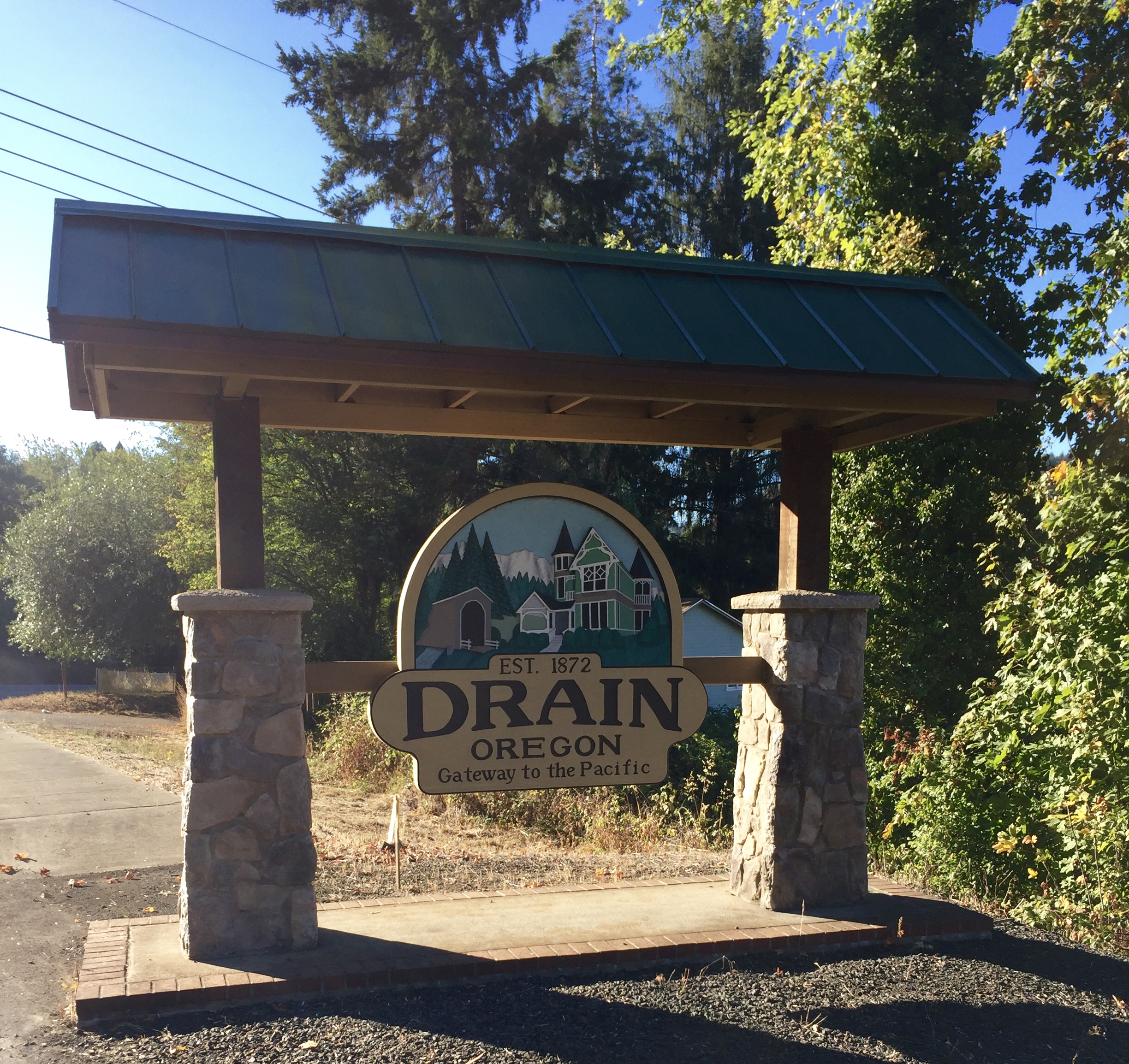
Eagle Valley road took me to Drain, and then it was on Hwy. 38 to Anlauf, where Territorial Highway begins. I was now on the home stretch. I just rode a couple of miles up Territorial before finding an open field with a for sale sign and a somewhat hidden spot to camp.
image.jpeg
IMG_3334.jpg
IMG_3338.jpg
IMG_3340.jpg
IMG_3341.jpg
