I was now confident that the C2C trail was well signed and rideable through to Harlan. Although the trail goes up Old Peak Road I still much prefer Woods Creek and so I headed that way. There was still some blue sky in Corvallis but the clouds where hanging in over Mary's Peak and it soon clouded over completely. It would be great to have a nice cool day to do this ride.
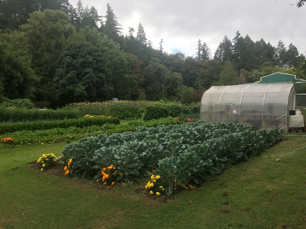
My first stop on Woods Creek was to admire the gorgeous garden I have passed before. This time I got to chat with the lady there who said they've been there since 1975, and 3 years before that did a coast-to-coast bike tour!
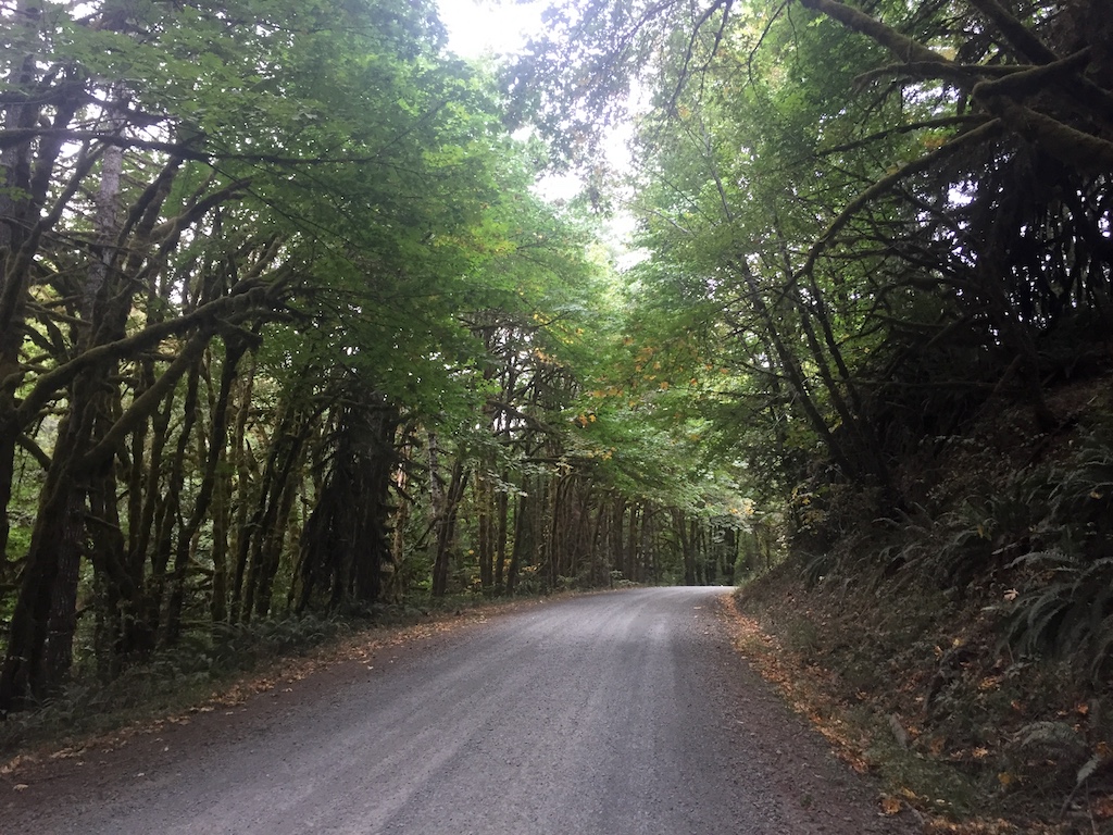
Woods Creak Road was in great shape with no loose gravel, washboard, or pot holes. There were some log trucks coming down and I had heard that they were logging above the gate.
At the junction of Old Peak Road the C2C takes Lower North Ridge trail, which is single track. I tried to ride down this a few years ago and had to walk most of it. It's likely that the C2C trail builders have improved it, but that was not my challenge for today. Instead I continued up the road knowing that the trail comes out just above the gate.
The gate was open for the log trucks. I have heard that they put down a lot of course rock on what used to be a very smooth ride. Too bad, but not my concern for today. Here is where I would join the C2C the rest of the way to Harlan. When I rode up TumTum with some Tenners a few months ago we could see where the C2C veered off. I would now ride down to that point and then be on roads I have never been on before. From here the road would be up and down, but predominantly down as the gate on Woods Creek Road is the highest point on the C2C
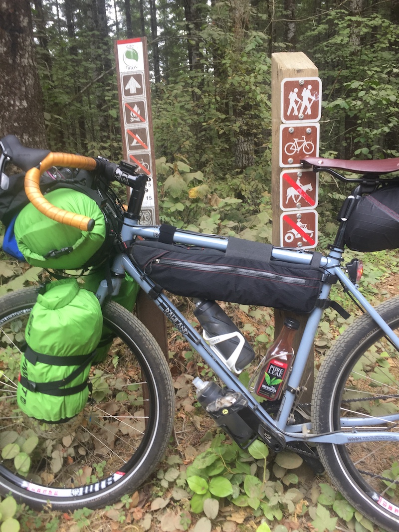
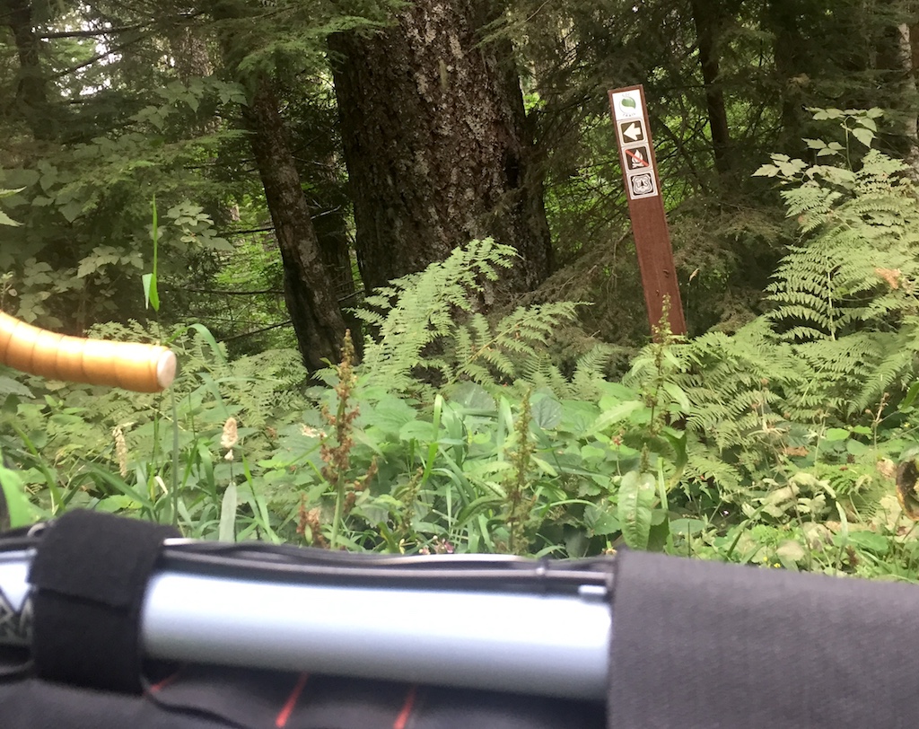
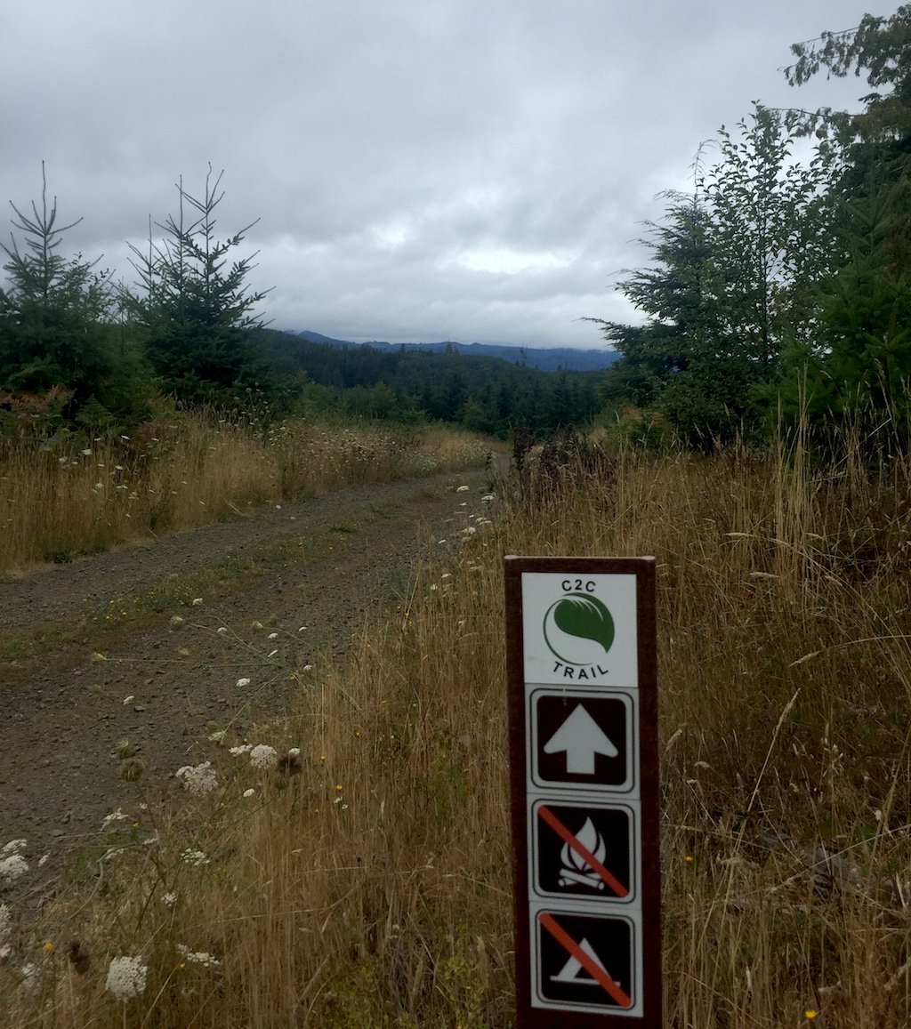
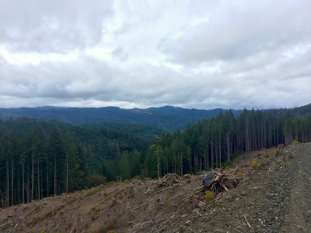
The trail makes a left right around a recent clear cut. You would never know it, there are no signs saying so, but this is now Shotpouch Road. The C2C sign however was very obvious. In fact at ever intersection where you could possibly have a choice, the C2C signs were unmistakable. There was never any chance of getting lost.
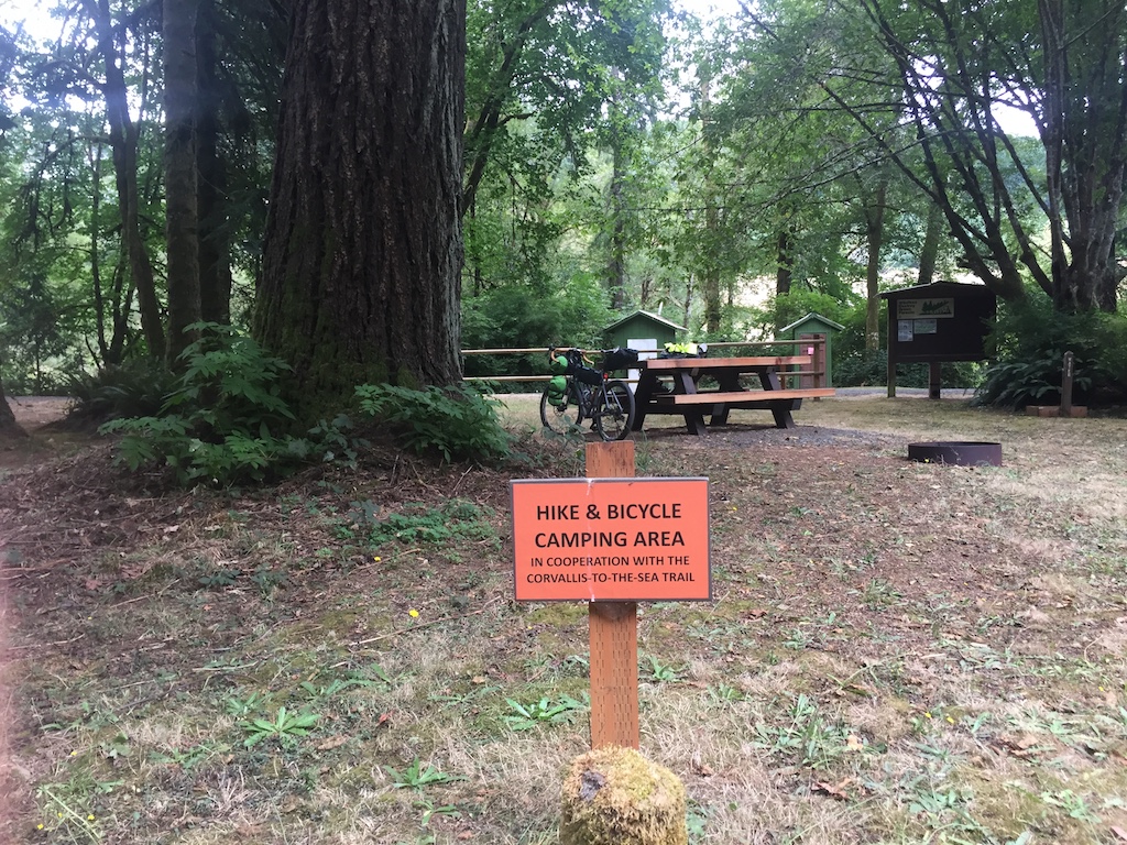
Eventually you starting going downhill, pass a farm, and hit a signed intersection of Shotpouch Road and Shotpouch Trail. The C2C takes Shotpouch Trail to the left, across Shotpouch Creek and then back up hill to a new clearcut. Here the road is heavy rock and I had to get off and walk, past a gate, and then downhill a bit before it gets rideable again. This was the first time I was inside of a gate where there could be no vehicles. The road soon deteriorated to overgrown single track, and then came to a section of newly built single track trail. The trail is downhill with a number of switchbacks. It is very well built with no rocks, roots, or ruts. It was fun to ride. At the bottom the trail joins more overgrown road which gradually improves as it makes it's way down to Sugarbowl Creek and the gate where it joins Mary's Peak Road 3.5 miles from Harlan. I had done it. Thanks to the C2C trail builders there was now an easy to follow route that flanks the north side on Mary's Peak all the way to Harlan. Six more miles of easy gravel and I arrived at Big Elk Campground.
IMG_7636.jpg
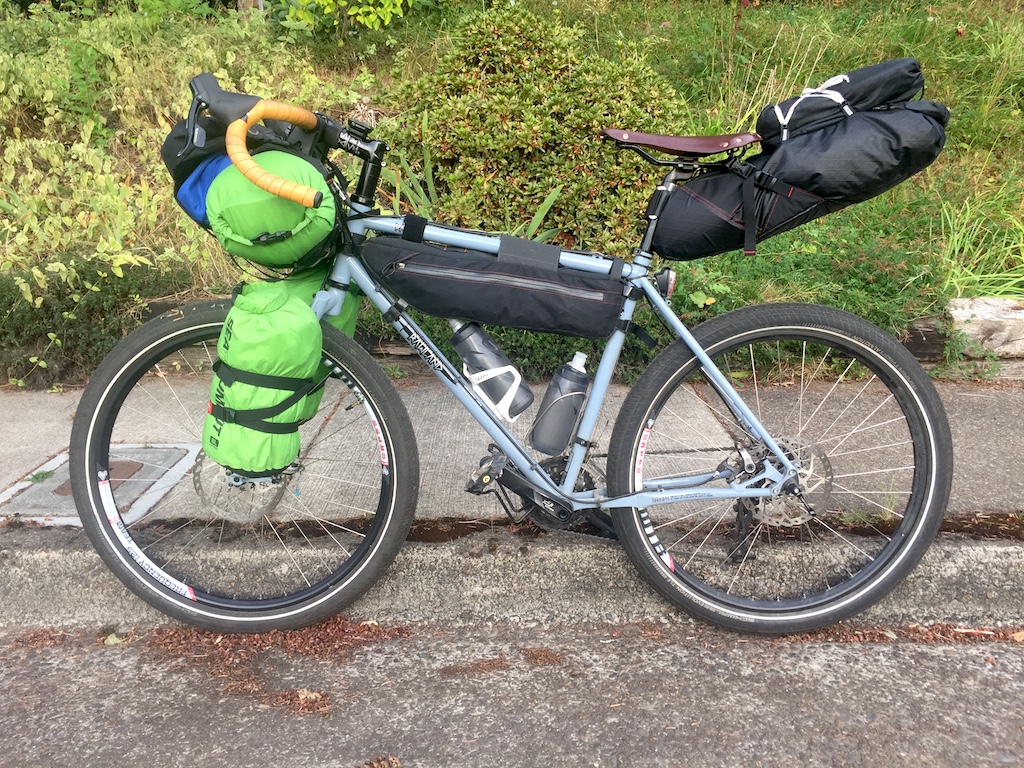
IMG_7639.jpg
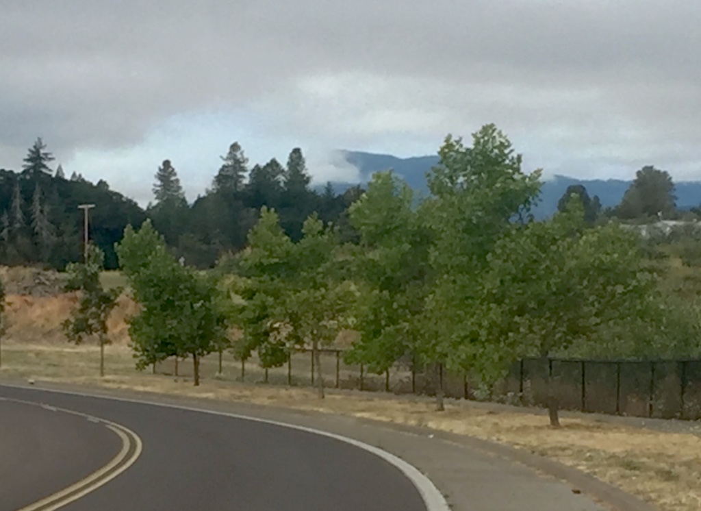
IMG_7644.jpg
IMG_7645.jpg
IMG_7648.jpg
IMG_7650.jpg
IMG_7651.jpg
IMG_7653.jpg
IMG_7655.jpg
IMG_7659.jpg
