June first promised to be a warm clear day, just right for riding McKenzie pass. The road is closed to cars for another week so this would be the ideal time to do it. Normally I avoid a long drive to a ride, but I had to make an exception for this one. It was 2 hours from Corvallis to the ranger station at McKenzie Bridge. Even this far up it is a mighty big river.

The McKenzie River
From the ranger station it's about 2 miles on the main highway 126 before you get to the old highway. I was on the road by 9 but judging by the parked cars there were already a lot of riders out before me. At the base of the old highway its all lush forest of cedar, maple, and fir.

It was still 10 miles to the gate so there were a few cars on the road, but this sign pretty much tells you who ruled the road today. What few cars I saw went really slow and gave us plenty of room. There were some trail heads along the road which is where the cars were going.
The first 5 miles were pretty gentle climbing but soon it settled in to a steady 6% grade. The woods changed as well to dense fir. There is still some old growth not far from here but not on this road.
Every now and then you'd get a tantalizing view of the mountains through the trees, but it was some time before I go a clear shot.

North Sisters Mountain.
At 11 miles from the start of the old highway you reach the gate. From here for the next 12 miles to the summit (and beyond) there are no cars. I still had to be careful not to wander into the other lane as some riders were coming down by now - fast. After the gate the grade stays about the same but the road starts switching back and forth. It was about 6 miles of S turns at a steady 6% grade. By now I had passed the 4000' sign and I realized that if it kept climbing at this grade the top would have to be well over 6000' which I didn't think it was. Sure enough as soon as we got to the lava fields it flattened out for the last 4 miles to the top.

Still some snow on the sides of the road.
I had driven this road many years ago and knew about the lava fields. I was really awesome to ride through them.

Belknap Crater must have been the source of this lava.
The last 4 miles to the top were filled with views of lava and mountains.


At the summit. Considering the ride started at 1500' it was a pretty good climb.

Just me and the mountains.

Mt Washington and Mt Jefferson from the observatory.

North and Middle Sisters from the observatory.

There were hundreds of riders on the road today. Many went all the way to Sisters which was just another 15 miles from the top.

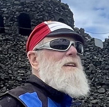
This guy was hoping for a Clif bar.
As you can image the ride down was superb. With no cars you could really let go. There were still a steady stream of riders coming up as I was going down. One thing about the decent to look out for. As I was going up I had stopped at the gate for a minute. Just then a rider coming down came around the bend at 20 MPH, went into a full skid and crashed into the gate. He got right up and said he was alright (sure!). A bunch of other riders were right behind him and barely stopped on time. There was a pylon at the side of the road that I suppose was supposed to be a warning. We moved it up a little further and put it in the middle of the road. Needless to say I marked the spot well and knew exactly where the gate was on the way down.
When I was just about to the bottom I ran into a couple of guys on fully loaded Surly's headed out across the country on the ACA TransAm route. I turned around and rode with them for a bit. Needless to say I wished I was going with them. Instead it was back to my truck for the 2 hour drive home.
This has got to be one of the premiere rides in all of Oregon. Not to be missed. It would be best to do it as part of a loop of course. I'll have to start planning.
